Last Updated on 03/11/2025
Black River Adaptive Modeling (BRAM) Project
Project Description
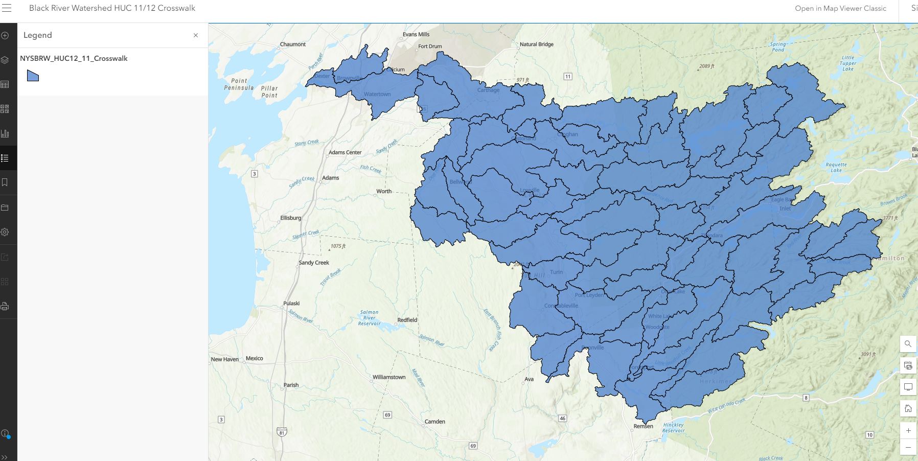
The 2016 Black River 9 Element plan was developed at the HUC11-scale (hydrologic unit code), which has since been catalogued as legacy and therefore no longer widely used. HUCs correspond to the scale at which a subwatershed is mapped, with HUC-11 being larger than HUC-12, and so on.
This makes tracking project implementation and progress within priority subwatersheds difficult, such as agricultural best management practices. Eight years post-implementation, it is becoming more important to evaluate progress metrics in watershed management. The BRAM project compiled and analyzed data as the first step in considering whether additional planning, implementation actions and/or modeling efforts should be explored for the watershed.
BRAM Phase I (2022-2024): Engage with the public, review existing data, identify data needs, and identify water quality monitoring needed to support future implementation, watershed modeling, and planning efforts.
As part of the BRAM project, the NYS Department of Environmental Conservation (DEC) Division of Water developed an interactive crossover tool that identifies the corresponding HUC-11 and HUC-12 subwatersheds. The tool is available Here.
The BRAM project involved collection of all water quality related data for the Black River watershed. Examples of data included:
• Agricultural practices, HUC12 level (tillage, fertilizer use, best management practices (BMPs), AEM program data)
• Stream or lake monitoring results
• Culvert assessment data
• Watershed BMPs (including forestry BMPs, buffers)
• Nutrient concentrations (phosphorus, nitrogen)
• Sediment concentrations (total dissolved sediment and total suspended sediment)
• Photos
The BRAM planning committee worked with Ramboll and Upstate Freshwater Institute (UFI) to produce a document summarizing data sources and datasets that were evaluated for potential use in future modeling, planning, and implementation efforts. The final document also identified data gaps, that if filled, could better educate future planning and modeling efforts.
The final BRAM document is now available, Black River Watershed Data Summary and Gap Identification.
Upstate Freshwater Institute worked with the soil and water conservation districts in the watershed to complete water quality sampling training, and a DEC approved Quality Assurance Project Plan. Water quality monitoring by the soil and water conservation districts is ongoing in Lewis, Oneida, and Jefferson Counties, based on data gaps identified in the BRAM project. The project team is also evaluating next steps, which include forming a Black River Watershed Coalition of soil and water conservation districts, evaluating existing recommendations based on BRAM, DEC, the 2016 9E Plan, and current UFI water quality data, developing a Watershed Implementation Plan (WIP), performing additional modeling in phase 2, and seeking funding sources.
This project was a collaboration between the Lewis, Jefferson, Hamilton, Herkimer, and Oneida County Soil and Water Conservation Districts, the NYS Tug Hill Commission, NYS DEC, Ramboll, and Upstate Freshwater Institute.
Following the culmination of the BRAM project, the five Soil and Water Conservation Districts officially formed a Black River Watershed Coalition of SWCDs. While in its initial stages, the coalition will work to cooperatively address water quality relates issues in the Black River Watershed.
Please direct any questions to Jillian Lee at jilliantughill.org.
BLACK RIVER WATERSHED MANAGEMENT PLAN
Final Report Part I – May 2010
Final Report Part II – Appendices – May 2010
Black River Nine Element Watershed Management Plan (Addendum) – June 2016
Final Groundwater Assessment Report December 2008

Comments or questions about these documents should be directed to Jennifer Harvill or Katie MalinowskiThe Black River Watershed Initiative encompasses both a Black River Watershed Management Plan, which focuses on the enhancement, protection and improvement of water quality in the Black River Watershed, and three additional studies which will provide a more in-depth understanding of the watershed. The three additional studies include a Socioeconomic Characterization of the Watershed, a Stakeholder Outreach report and a Groundwater Assessment. The intent of these “sister projects” is to strengthen our understanding of the Black River Watershed by learning about its inhabitants, understanding socioeconomic trends such as population and job statistics, and more fully characterizing groundwater resources. The overall goal of the initiative is to ensure that the resource, the Black River and its drainage area, and the quality of water within it, are protected and improved wherever possible, and that the resource continues to provide for the needs of those that depend on it for their livelihoods, well being and recreational opportunities.Preparation and implementation of the Black River Watershed Management Plan will advance the protection and restoration of water quality and ensure compatible land use development, helping to protect the River’s scenic and natural resources. The planning process will include building community consensus; watershed characterization; inventory of existing conditions; identification of problems and opportunities; identification of land and water use controls and institutional arrangements for water quality management; and identification of specific resource protection and management needs.
The Black River watershed spans Hamilton, Herkimer, Jefferson, Lewis and Oneida counties. The Black River, a designated Blueway Trail, is a major destination for scenic viewing, fishing and water-based recreation, including kayaking and rafting, which are significant contributors to the local and regional economies in the Tug Hill and Adirondack regions. The river is a major tributary of Lake Ontario and also serves as the drinking water supply for the City of Watertown and Fort Drum.
Preparation of the Black River Watershed Management Plan is being coordinated by the Lewis County Soil & Water Conservation District. The plan is being prepared through consultant services (Bergmann Associates, along with Camoin Associates) procured by the Town of Grieg and overseen by a Project Advisory Committee, which includes numerous agencies and stakeholders from each of the Black River counties. It is funded with monies from two Environmental Protection Fund grants to the Town of Greig and matching funds from the Black River Advisory Committee Fund (Brookfield Power) and Senator Griffo. A National Fish & Wildlife Foundation grant, as was secured by the Tug Hill Commission for the three additional studies being completed as part of this initiative.
The purpose of this socioeconomic study is to provide a more thorough understanding of demographic and economic trends in the Black River Watershed that will inform the Black River Watershed Management Plan.Groundwater Assessment (final) (PDF file)
This report provides a summary of identified aquifers, utilization of groundwater resources, and an evaluation of future expansion and protection for groundwater resources within the Black River Watershed.Stakeholder Outreach Report (final) (PDF file)
In order to adequately educate the public and interested agencies about the project, learn from their experiences about key issues and concerns facing the region, and identify potential actions to take in the future, four different methods of outreach were held in the beginning of this planning process and reported on in this document. Three identical Visioning Workshops were held in three locations throughout the watershed in May of 2008. Following the Visioning Workshops, six focus groups were identified for an additional level of meetings which concentrated on specific topic areas of particular importance and relevance to the Black River Watershed planning area. Steering Committee meetings with project partners were held at various milestones in the planning process. Finally, public informational meetings were held to present the final results of the groundwater analysis, Socio-Economic Analysis, and to present an update of the Watershed Management Plan.